Hire a Pro · Select a property, draw a box or polygon, or upload a boundary
Compare quotes from local pros, without ringing around
Compare quotes from up to 3 local pros by describing your job once. Mark your site on the map, pick the kind of pro, and we send it on with an aerial map, a Google Earth file and a link to the site, so they can price it properly from the start.
It’s free and there’s no obligation: the pros contact you directly, and you choose.
Free to run · pay to download
Free to run, and free to save as a PNG image of the map. This tool has no file export of its own. For the terrain as a file, Download Data exports contours, a GeoTIFF or a 3D mesh with a pass: NZ$49 for 7 days or NZ$299 for 12 months.
Who uses this
- Owners and buyers. Get earthworks, a survey or a geotech report priced without explaining the site three times.
- Lifestyle-block owners. Find a contractor for a driveway, track, drainage or fencing job.
When to use it
- You need earthworks, a survey, a geotech report, drainage, a builder or a landscaper, and don’t want to ring around explaining the same site to each one.
- You haven’t run a tool, or the job doesn’t fit one. (After running a tool, the Compare quotes card under its result sends the result along too.)
Which tool for your job
Compare Quotes is one step in a bigger question. These are the jobs it helps with, and the tools that go with it.
If you’re working on choosing a house site
Where on this block should the house go?
- 1.Find Matching Areas — Narrows the block to the patches that are flat, sunny and facing the right way.
- 2.Slope & Aspect — Shows where the ground is easy to build on and where retaining will be needed.
- 3.Sunlight — Checks winter sun on the candidate platform, hour by hour.
- 4.Cut & Fill — Estimates the earthworks to level the platform before you ask for quotes.
- 5.Viewshed — Shows what the house will see and who will see it.
- 6.Compare Quotes (this tool) — When you know what you want, sends the job to up to 3 local pros to quote.
If you’re working on earthworks, driveways and tracks
How much digging, and can a driveway or farm track make the grade?
- 1.Cut & Fill — Cut and fill volumes to level a pad, at a height you set or the one that balances.
- 2.Elevation Profile — Gradient along a proposed driveway, section by section.
- 3.Route Explorer — Finds a line between two points that stays under a maximum grade.
- 4.Contour Lines — Site contours at 0.5 m or finer to hand to a designer.
- 5.Compare Quotes (this tool) — Gets the digging priced by up to 3 local earthworks contractors without ringing around.
How to use it
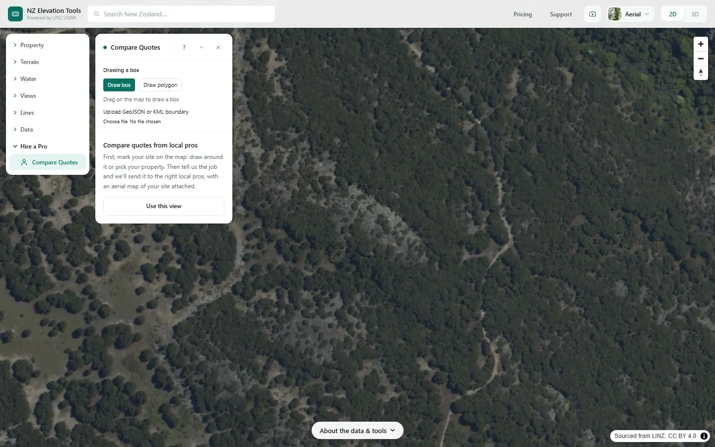
- Open Compare Quotes and mark your site: select your property, draw a box or polygon, or upload a boundary.
- Choose what kind of pro you need, or “Not sure, help me choose”.
- Describe the job, say when, and leave your name, email and phone if you like. Tick the box so we can pass your details on, and send.
Step by step: Mt Iron, Wānaka
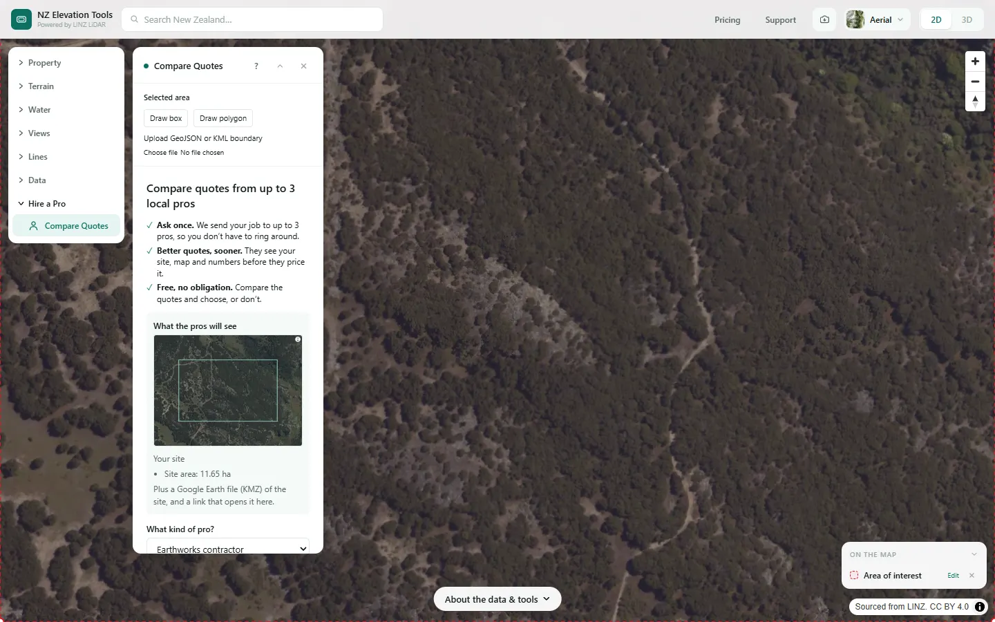
We ask for quotes to level a house platform and form a driveway on a block at the foot of Mt Iron.
What it showed
- The pros get the map, a Google Earth file of the site and a link that opens it on this map, so they can price it without a first visit just to see the ground.
- After running a tool, use the Compare quotes card under its result instead: the result and its settings go along too.
Screenshots from NZ Elevation Tools. Aerial imagery from LINZ Basemaps. Sourced from the LINZ Data Service and licensed by Environment Southland, Otago Regional Council and Queenstown-Lakes District Council for re-use under the Creative Commons Attribution 4.0 International licence.
How it works
Your request comes to us by email with an aerial map of the site, a Google Earth file (KMZ) of the boundary, and a link that opens the site on this map. We pass it to up to 3 local pros who do that kind of work, and they contact you with quotes.
Reading the results
There is no result on the map: the pros reply to you directly, by email or phone.
Limits and warnings
- We match requests by hand, so allow a few working days for the first contact.
- Up to 3 pros, depending on who covers your area.
Data and attribution
No heights are read. The map attached to your request is LINZ Basemaps aerial imagery.
Elevation and cadastral data is sourced from the LINZ Data Service and licensed for re-use under the Creative Commons Attribution 4.0 International licence. Copyright in each LiDAR survey belongs to the body that commissioned it — a regional or district council, Waka Kotahi, NIWA and around thirty others — rather than to LINZ, which hosts and processes the national dataset. Every file exported from this site names the licensors whose surveys cover the area, and anything you publish from those files carries the same attribution requirement. See https://www.linz.govt.nz/products-services/data/licensing-and-using-data/attributing-elevation-or-aerial-imagery-data
Questions
What does it cost?
Nothing. Asking for quotes is free and there’s no obligation to accept any of them.
Who sees my details?
Us, and the up to 3 local pros we send your job to. You tick a box agreeing to that before sending.
Ready to try it?
Open Compare Quotes on the map →Free to use, no account. Free. Your request is emailed to us and passed to up to 3 local pros; nothing is published.
Missing something you need? Suggest a feature or ask about custom work.